Map Reader — an educator's view
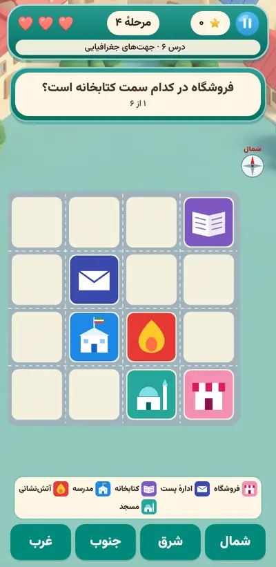
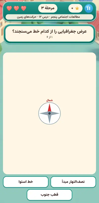
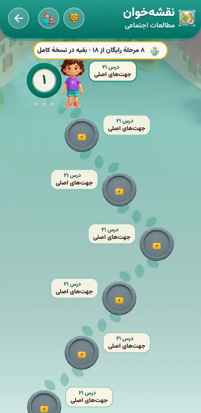
Direction-finding is a skill the social studies textbook builds up slowly from grade 3, and many children get stuck on it. Map Reader starts from the child's own body: right hand toward the sunrise, so straight ahead is north. Next comes the neighborhood map; the child says which side the bakery is from the school and moves the token step by step to the destination with direction buttons. Later grades add the eight directions, map scale, continents, the equator, and latitude and longitude.
The body, the first compass
At this age, children grasp spatial concepts with their own body first, and only later on paper. The “right hand toward the sunrise” exercise turns directions from a few memorized words into a bodily experience that can also be tested in the schoolyard or the street.
Moving between reality and symbol
Reading symbols and a map's legend means accepting that a small colored square is a real hospital. This “symbol-reading” ability is exactly what the child will later need for charts and tables. Scale, in grade 5, makes this bridge sturdier with numbers and kilometers.
Planning a route
In the “find your own way” levels, the child thinks before moving: which direction first, how many blocks, where to turn next. Any route that reaches the destination is accepted, so the child learns that several correct routes can exist for one goal, and the choice is theirs.
Trying at no cost
The token bumping into the map's edge isn't counted as a mistake at all, and going somewhere else just brings a message like “you were close!” This safe space lets a child worried about mixing up left and right try, see the result, and correct themselves.
A tip for parentsOn the way to school in the morning, ask the child which side the sun rose from and which direction the school is from home. On the weekend, draw a simple map of your street together and mark the bakery and the park with your own symbols.
 Nikipoo School
 Grade 318 levels
 Grade 421 levels
 Grade 522 levels
 Grade 622 levels