Iran Explorer — an educator's view
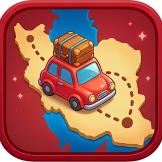
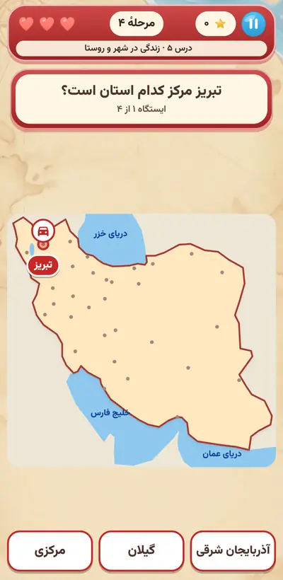
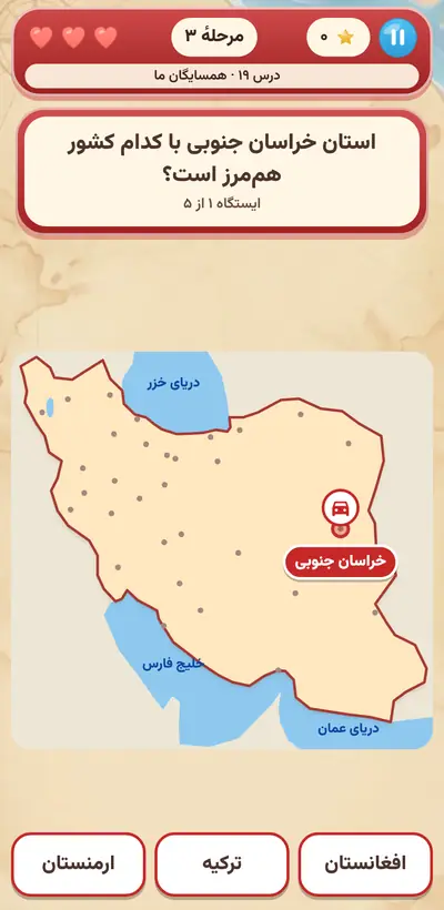
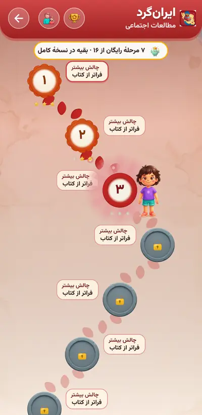
In grades 3 through 6, the map of Iran is, for many children, just a colorful picture in a book. Iran Explorer turns that picture into a journey: the child finds a provincial capital on the map, taps the neighboring province, taps the Persian Gulf or the Caspian Sea, and their little car moves forward station by station. A short teaching sentence follows every correct answer. From cities' souvenirs in grade 3 to mountains, rivers, energy resources, and world heritage sites in grade 6, knowing “which” gets tied to “where.”
A mental map of the country
The picture everyone carries in their mind of where things are is called a “mental map.” As the child repeatedly finds Shiraz in the south and Rasht by the Caspian, this map becomes more complete in their mind, and later, news, travel, and the geography lesson become more meaningful to them.
A sense of belonging to the land
Knowing Isfahan's souvenirs, the seas of the south, deserts, and wetlands turns Iran from a name into a real land of people and many colors. A child who knows the variety among the provinces looks at a fellow citizen from another province with curiosity and respect, not as a stranger.
Linking name and image
Every question is answered both by name and by its place on the map. This double link of word and image helps memory; the teaching sentence after each correct answer reviews the knowledge once more, this time consciously.
Getting lost is normal
If the child taps the wrong province, they just see a gentle shake and the message “look again!”; all the choices stay in place. After two tries, the correct answer gently grows and shrinks. The child learns that the way through on a map is to look again.
A tip for parentsBefore a family trip, open the map of Iran and ask the child to trace the route from your province to your destination with their finger. On the way, read the sign entering each province together and ask what its souvenir is.
 Nikipoo School

 Grade 316 levels
 Grade 420 levels
 Grade 521 levels
 Grade 619 levels